America’s old mines, in your pocket
Mine Hole maps nearly 500,000 abandoned mines, shafts, adits, prospects and ghost towns across the United States. The whole map lives on your phone, so it keeps working where the signal quits.
 Coming soon
 Coming soon
Works offline · No account · No ads
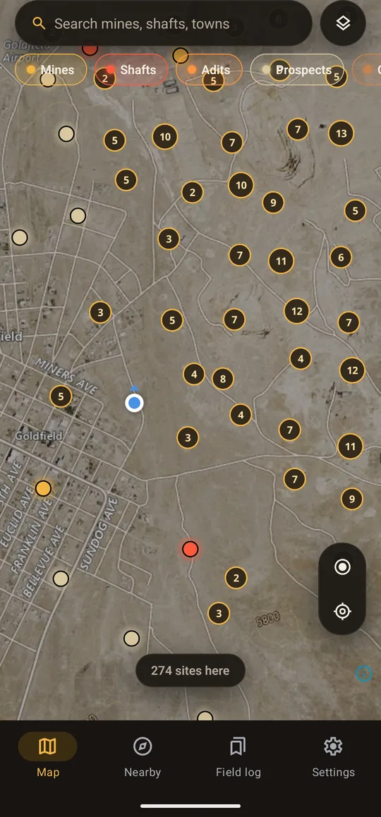
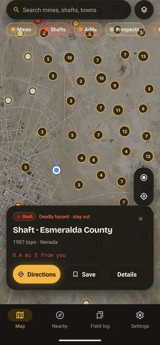
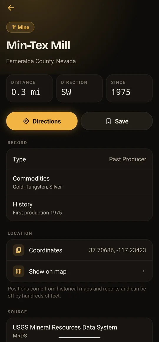
Find what the old-timers dug
Glowing pins over USGS satellite and topo maps, colored by what each site is. Zoom out to see a whole district, zoom in to the single shaft.
Nearly 500,000 sites
Every record from three public USGS datasets, bundled into the app. Search any of them by name, closest first.
Works with no signal
Sites, search, filters and Nearby run on your phone. Maps load online, or offline for areas you download PRO
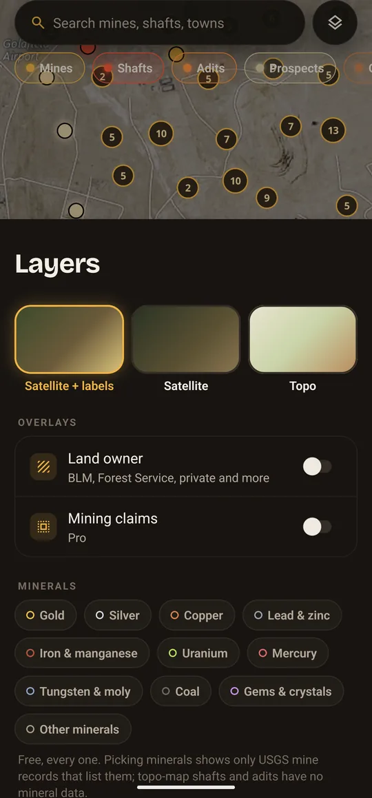
Filter by mineral
Gold, silver, copper, uranium, gems and more. Every filter is free.
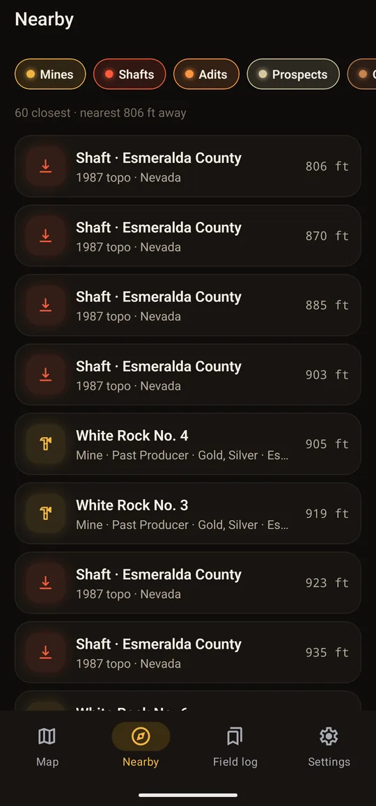
Nearby
The closest sites to where you’re standing, with distance and compass direction.
Directions
One tap hands the route to your phone’s maps app.
Who owns the land
The BLM land-owner layer shows public, Forest Service, state and private ground. Free.
Mines, holes and the towns they built
Each site comes with what the record says: type, status, minerals, first production, county and topo quadrangle, and a link to the USGS source.
Workings
- Mines
- Shafts
- Adits
- Prospects
Surface
- Open pits
- Mills and works
- Ghost towns PRO
Where it comes from
- USGS Mineral Resources Data System
- USGS topographic map mine symbols
- USGS Geographic Names (historical towns)
Keep what you find
Save a site or drop your own pin, then add notes and photos on the spot. It all stays on your phone.
Saved spots
Any site, or a long-press anywhere on the map. Free keeps 3; Pro keeps them all.
Notes and photos
Take a photo or pick one from your library. Notes save as you type.
Trip tracks PRO
Record your trail with distance and time, so you can walk back out the way you came.
Mining claims PRO
Active BLM claims drawn on the map, with claim name and case number.
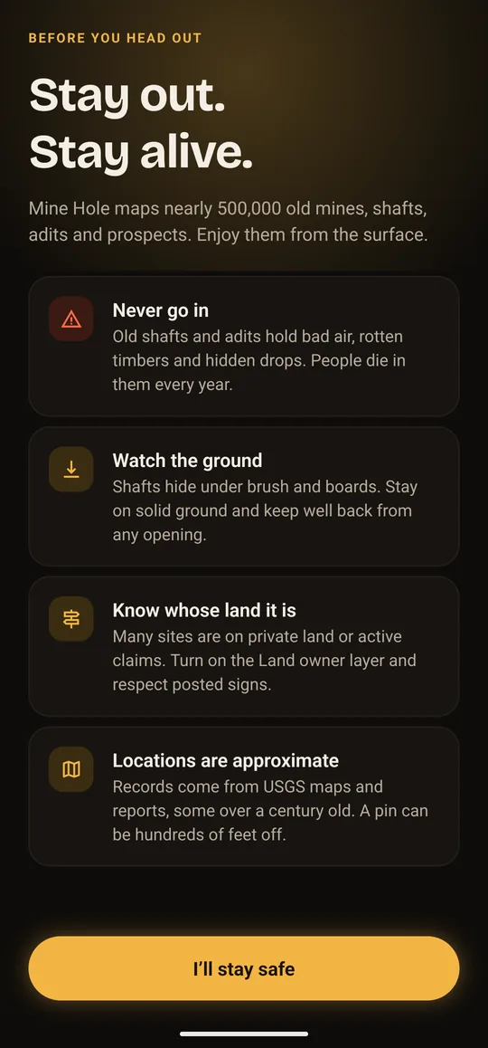
Stay out. Stay alive.
- Never go in. Old shafts and adits hold bad air, rotten timbers and hidden drops. People die in them every year.
- Watch the ground. Shafts hide under brush and boards. Stay on solid ground and keep well back from any opening.
- Know whose land it is. Many sites are on private land or active claims. Turn on the Land owner layer and respect posted signs.
- Locations are approximate. Records come from USGS maps and reports, some over a century old. A pin can be hundreds of feet off.
Mine Hole shows this briefing before the map opens, and marks every shaft and adit as a hazard. More from MSHA’s Stay Out–Stay Alive program.
Free, or Pro once
The whole map, every filter, Nearby, directions and land ownership are free, with no ads. Pro is a single purchase, not a subscription.
Free
- All ~500,000 mines, shafts, adits and prospects
- Every kind and mineral filter
- Search, Nearby and directions
- Land-owner layer
- 3 saved spots with notes and photos
Mine Hole Pro
- Active BLM mining claims
- 10,000+ ghost towns and camps
- Offline satellite and topo areas
- Unlimited saved spots
- Trip tracks